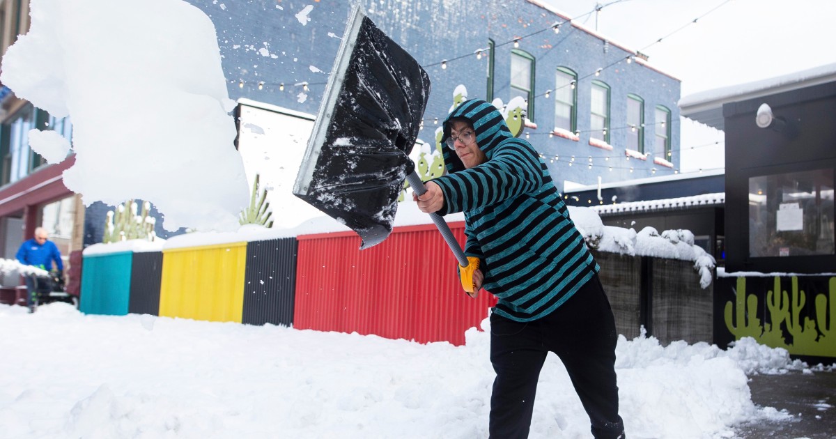
Residents of Buffalo and other parts of New York state woke up Friday morning to heavy snowfall that officials warn could “paralyze” the hardest-hit communities.
As of Friday morning, Erie County, home to Buffalo, has seen three feet of snow in areas like Orchard Park, 33 inches of snow in Hamburg and about 19.5 inches in southeast Buffalo.
The “historic” winter storm is bringing what is known as lake-effect snow, which occurs when arctic air races across the relatively milder waters of the Great Lakes.
The lake-effect snow off of Lake Erie is extreme as of Friday, with snowfall rates of 2 to 3 inches an hour and prolific “thundersnow,” which happens when there’s thunder along with snowfall.
The heavy snowfall is expected to result in “near zero visibility, nearly impossible travel and damage to infrastructure,” the National Weather Service warned early Friday morning.
Snow began to fall Thursday and continued overnight, threatening to leave Buffalo buried in more than 4 feet of “historic snowfall,” the service said in an update Friday morning.
“Very cold air will accompany this event with temperatures 20 degrees below normal forecast by this weekend,” it warned, after Buffalo saw temperatures in the high 60s last week.
Buffalo has declared a state of emergency, while Gov. Kathy Hochul did the same for 11 counties in the western and the northwestern parts of the state near Lake Erie and Lake Ontario.
“This is a life-threatening storm,” she said at a news conference Thursday, adding that state officials were standing ready to conduct rescues.
Erie County issued a driving ban, including the southern part of Buffalo, according to a tweet from Erie County Executive Mark Poloncarz.
“Conditions in the Ban zone are BAD,” Poloncarz said. “Do Not Drive. It is impeding our efforts to clear snow.”
“Only those authorized for emergency travel are to drive,” County Executive Mark Poloncarz tweeted Thursday, noting that the ban would be re-evaluated Friday.
Commercial traffic was banned on parts of some major roads, including the New York State Thruway, also known as Interstate 90. Meanwhile, Sunday’s NFL game between the home team Buffalo Bills and the Cleveland Browns was moved to Detroit.
As the planet has warmed from the increase in greenhouse gases, so have the lakes, meaning more evaporation into the atmosphere during the winter. This has led to an increase in lake-effect snow, but that trend is not expected to last.
A recent study used a regional climate model to investigate these changes in lake-effect snow if the current rate of greenhouse gas emissions continues. By midcentury, the amount of seasonal lake-effect snow is projected to increase modestly, as the Great Lakes will remain ice-free longer into the winter.
However, as the air warms, the amount of snow during the transitional seasons of late fall and early spring is expected to decrease, with more of the precipitation falling as rain. By the late century, the frequency of extreme cold over the Great Lakes is expected to decrease substantially. Similarly, lake temperatures are projected to increase further, with the warming environment implying an increase in rain at the expense of snow during the winter.
Lake-effect snow warnings were in effect early Friday for the Buffalo area and downwind areas of Lake Ontario, the weather service said.
Phil Helsel and Brittany Kubicko contributed.
Share your story or advertise with us: Whatsapp: +2347068606071 Email: info@newspotng.com


